✨ New Arrivals Just Dropped!Explore

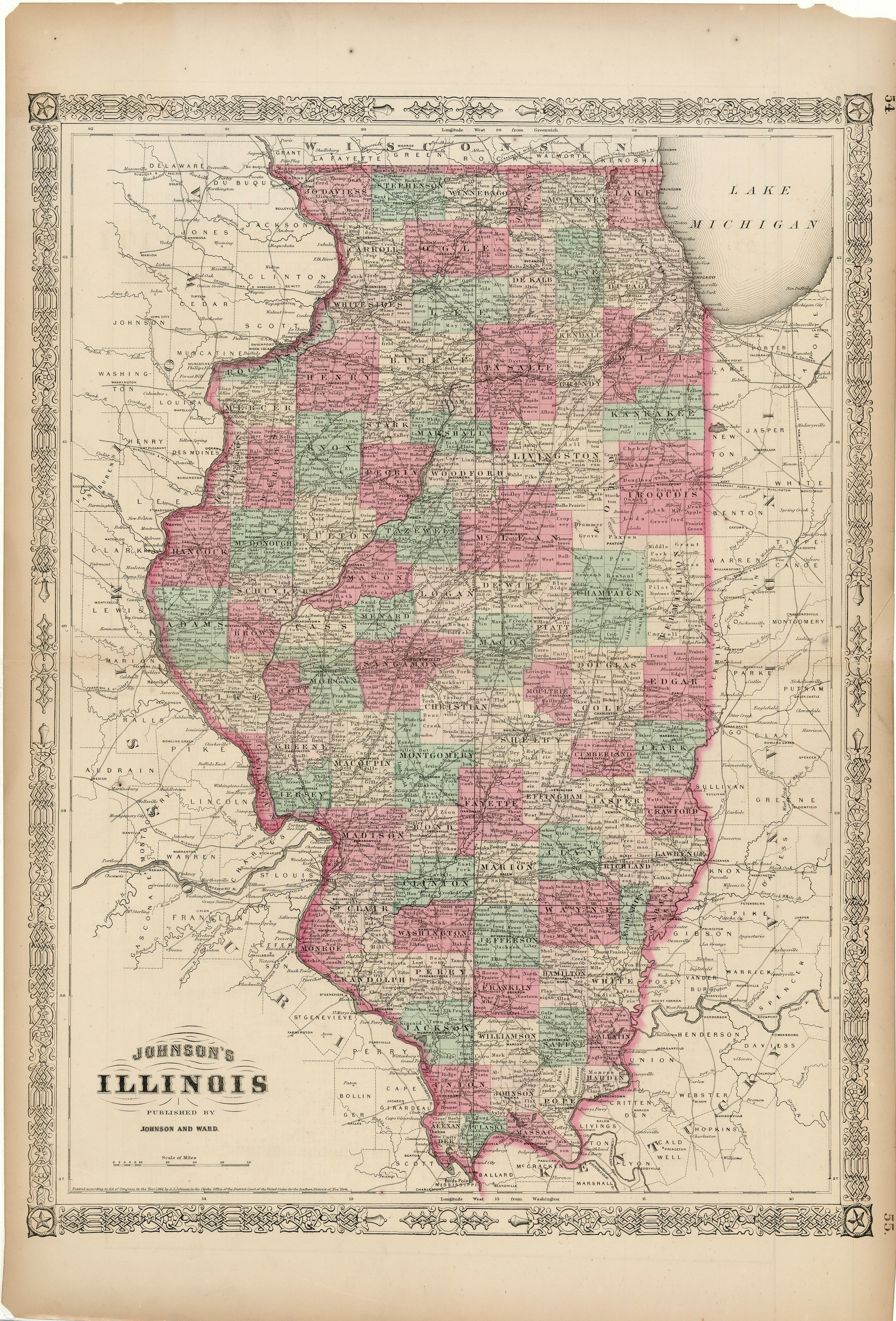
New Railroad Map of Illinois: Gray 1873
- Title: New Railroad Map of Illinois
- Author: O. W. Gray
- Date: 1873
- Medium: Hand-colored lithograph
- Condition: Very Good - age toning, some marginal paper loss
- Inches: 17 1/4 x 28 1/2 [Paper]
- Centimeters: 43.82 x 72.39 [Paper]
- Product ID: 101293
- Title: New Railroad Map of Illinois
- Author: O. W. Gray
- Date: 1873
- Medium: Hand-colored lithograph
- Condition: Very Good - age toning, some marginal paper loss
- Inches: 17 1/4 x 28 1/2 [Paper]
- Centimeters: 43.82 x 72.39 [Paper]
- Product ID: 101293
$47.25
Original: $135.00
-65%New Railroad Map of Illinois: Gray 1873—
$135.00
$47.25Description
- Title: New Railroad Map of Illinois
- Author: O. W. Gray
- Date: 1873
- Medium: Hand-colored lithograph
- Condition: Very Good - age toning, some marginal paper loss
- Inches: 17 1/4 x 28 1/2 [Paper]
- Centimeters: 43.82 x 72.39 [Paper]
- Product ID: 101293