Map of the United States and Texas: Harper & Brothers, 1844
- Title: Map of the United States and Texas
- Author: Harper & Brothers
- Date: 1844
- Medium: Engraving
- Condition: Good - age toning, light foxing, fold lines, trimmed left-hand margin
- Inches: 22 3/4 x 17 3/4 [Image]
- Centimeters: 57.79 x 45.09 [Image]
- Product ID: 101279
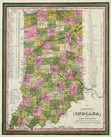
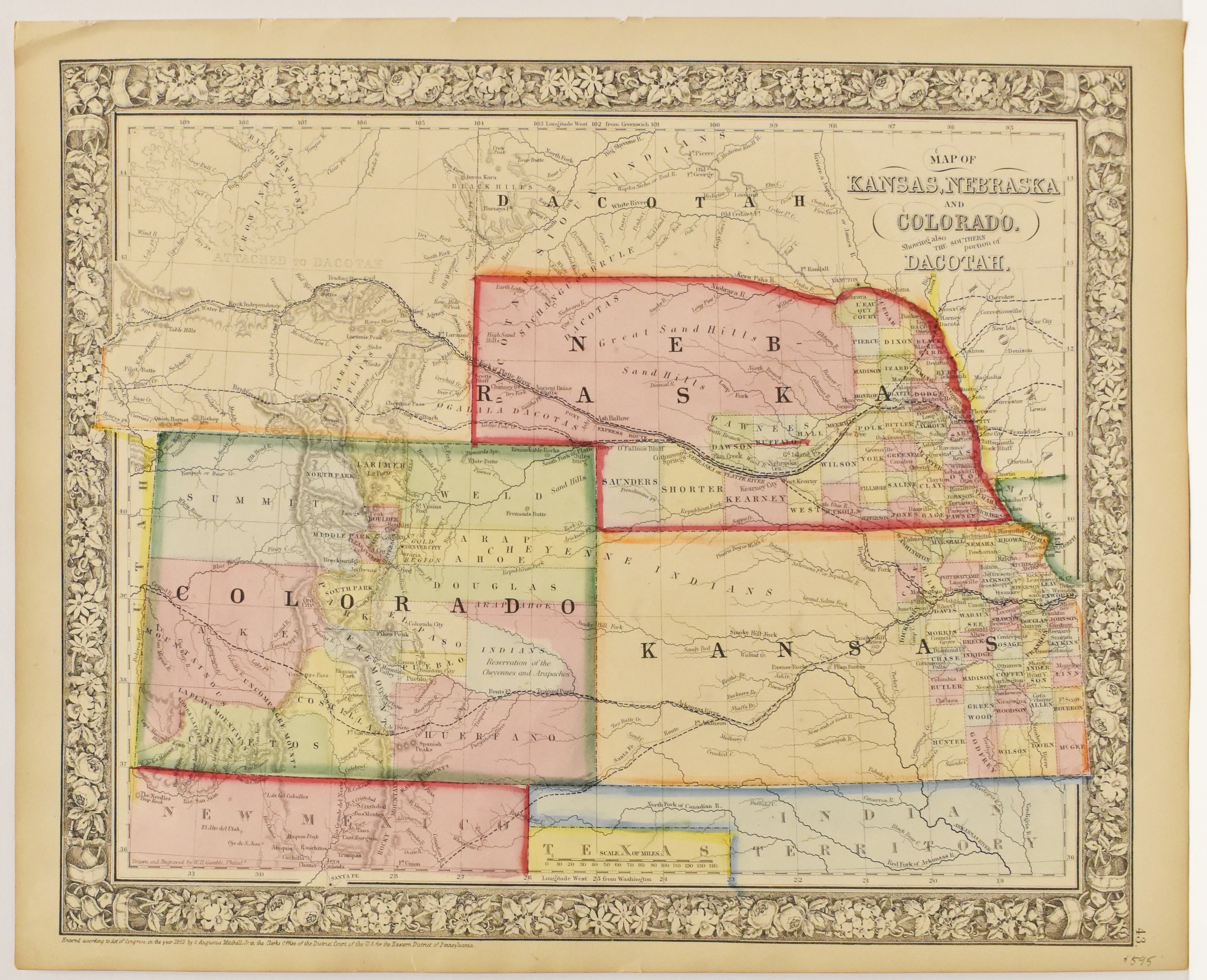
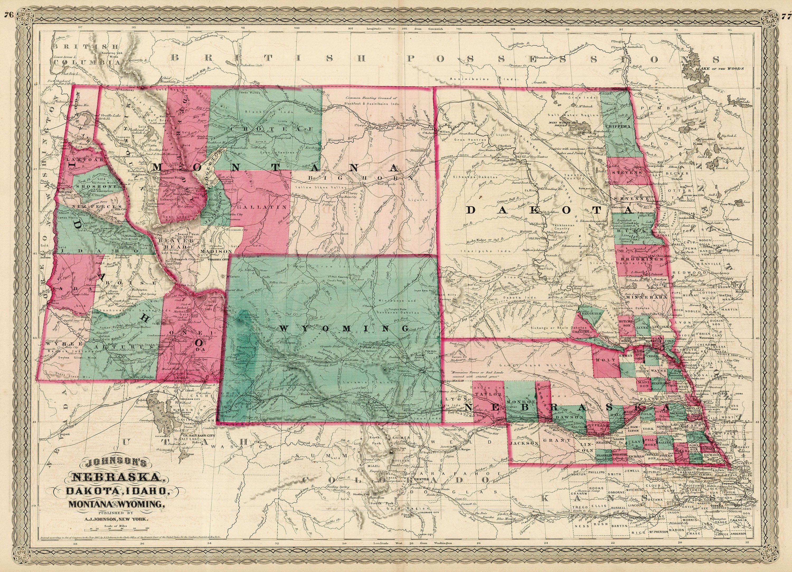
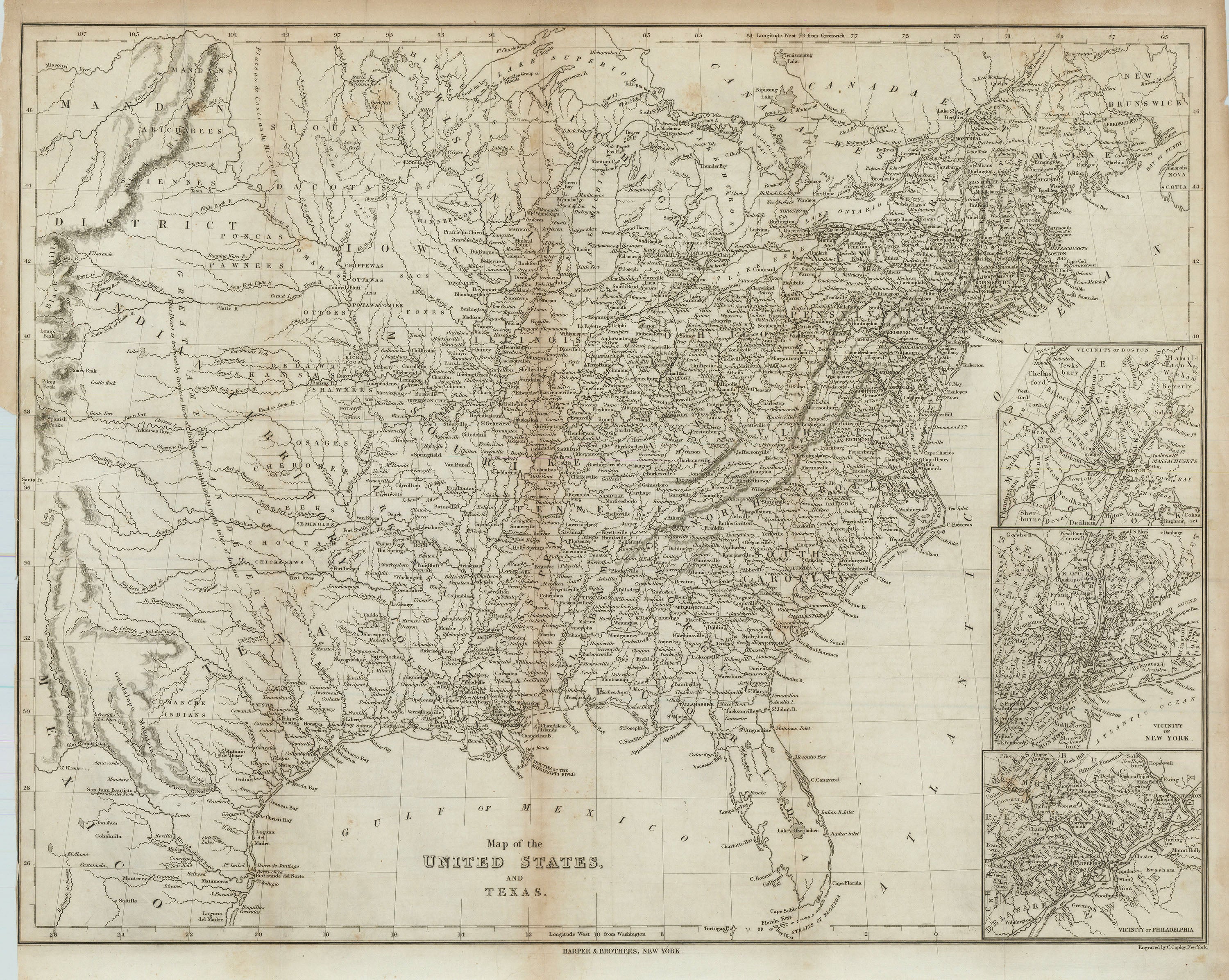
Map of the United States and the Republic of Texas, published in New York by Harper & Bros. Contains three inset maps: Vicinity of Boston, Vicinity of New York, and Vicinity of Philadelphia. In Texas, labels cities such as Houston, Austin, Galveston, Matagorda, Richmond, Goliad, San Antonio de Bexar, Liberty, and Nacogdoches. Map also depicts features such as Galveston Bay, Sabine Lake, Matagorda Bay, Laguna Madre, Aransas Bay, and Corpus Christi Bay. Labels the locations of Native peoples and includes general notes about terrain and topography. Map extends northeast to show New Brunswick, Canada and part of Nova Scotia.
Background on Creator
Harper & Brothers was a prominent American publishing company founded in New York City in 1817 by brothers James and John Harper, later joined by their siblings Wesley and Fletcher, and officially adopting the name Harper & Brothers in 1833. The firm quickly became the largest publisher in New York due to its early adoption of new printing technologies and was influential in shaping American culture through the publication of books, textbooks, and popular periodicals such as Harper’s Magazine, Harper’s Weekly, and Harper’s Bazar. Throughout the nineteenth century, Harper & Brothers was known for its innovative business practices, extensive literary output, and for publishing works by major American and British authors, ultimately evolving into what is now HarperCollins, one of the world’s largest publishing houses.
- Title: Map of the United States and Texas
- Author: Harper & Brothers
- Date: 1844
- Medium: Engraving
- Condition: Good - age toning, light foxing, fold lines, trimmed left-hand margin
- Inches: 22 3/4 x 17 3/4 [Image]
- Centimeters: 57.79 x 45.09 [Image]
- Product ID: 101279
Map of the United States and the Republic of Texas, published in New York by Harper & Bros. Contains three inset maps: Vicinity of Boston, Vicinity of New York, and Vicinity of Philadelphia. In Texas, labels cities such as Houston, Austin, Galveston, Matagorda, Richmond, Goliad, San Antonio de Bexar, Liberty, and Nacogdoches. Map also depicts features such as Galveston Bay, Sabine Lake, Matagorda Bay, Laguna Madre, Aransas Bay, and Corpus Christi Bay. Labels the locations of Native peoples and includes general notes about terrain and topography. Map extends northeast to show New Brunswick, Canada and part of Nova Scotia.
Background on Creator
Harper & Brothers was a prominent American publishing company founded in New York City in 1817 by brothers James and John Harper, later joined by their siblings Wesley and Fletcher, and officially adopting the name Harper & Brothers in 1833. The firm quickly became the largest publisher in New York due to its early adoption of new printing technologies and was influential in shaping American culture through the publication of books, textbooks, and popular periodicals such as Harper’s Magazine, Harper’s Weekly, and Harper’s Bazar. Throughout the nineteenth century, Harper & Brothers was known for its innovative business practices, extensive literary output, and for publishing works by major American and British authors, ultimately evolving into what is now HarperCollins, one of the world’s largest publishing houses.
Original: $695.00
-65%$695.00
$243.25Description
- Title: Map of the United States and Texas
- Author: Harper & Brothers
- Date: 1844
- Medium: Engraving
- Condition: Good - age toning, light foxing, fold lines, trimmed left-hand margin
- Inches: 22 3/4 x 17 3/4 [Image]
- Centimeters: 57.79 x 45.09 [Image]
- Product ID: 101279
Map of the United States and the Republic of Texas, published in New York by Harper & Bros. Contains three inset maps: Vicinity of Boston, Vicinity of New York, and Vicinity of Philadelphia. In Texas, labels cities such as Houston, Austin, Galveston, Matagorda, Richmond, Goliad, San Antonio de Bexar, Liberty, and Nacogdoches. Map also depicts features such as Galveston Bay, Sabine Lake, Matagorda Bay, Laguna Madre, Aransas Bay, and Corpus Christi Bay. Labels the locations of Native peoples and includes general notes about terrain and topography. Map extends northeast to show New Brunswick, Canada and part of Nova Scotia.
Background on Creator
Harper & Brothers was a prominent American publishing company founded in New York City in 1817 by brothers James and John Harper, later joined by their siblings Wesley and Fletcher, and officially adopting the name Harper & Brothers in 1833. The firm quickly became the largest publisher in New York due to its early adoption of new printing technologies and was influential in shaping American culture through the publication of books, textbooks, and popular periodicals such as Harper’s Magazine, Harper’s Weekly, and Harper’s Bazar. Throughout the nineteenth century, Harper & Brothers was known for its innovative business practices, extensive literary output, and for publishing works by major American and British authors, ultimately evolving into what is now HarperCollins, one of the world’s largest publishing houses.