Ashburn's Dallas City Map: Ashburn, 1955
- Title: ASHBURN'S DALLAS CITY MAP
- Author: J. Foster Ashburn
- Date: 1955
- Condition: Excellent - separations at folds
- Inches: 23 3/4 x 18 [Image]
- Centimeters: 60.32 x 45.72 [Image]
- Product ID: 308540
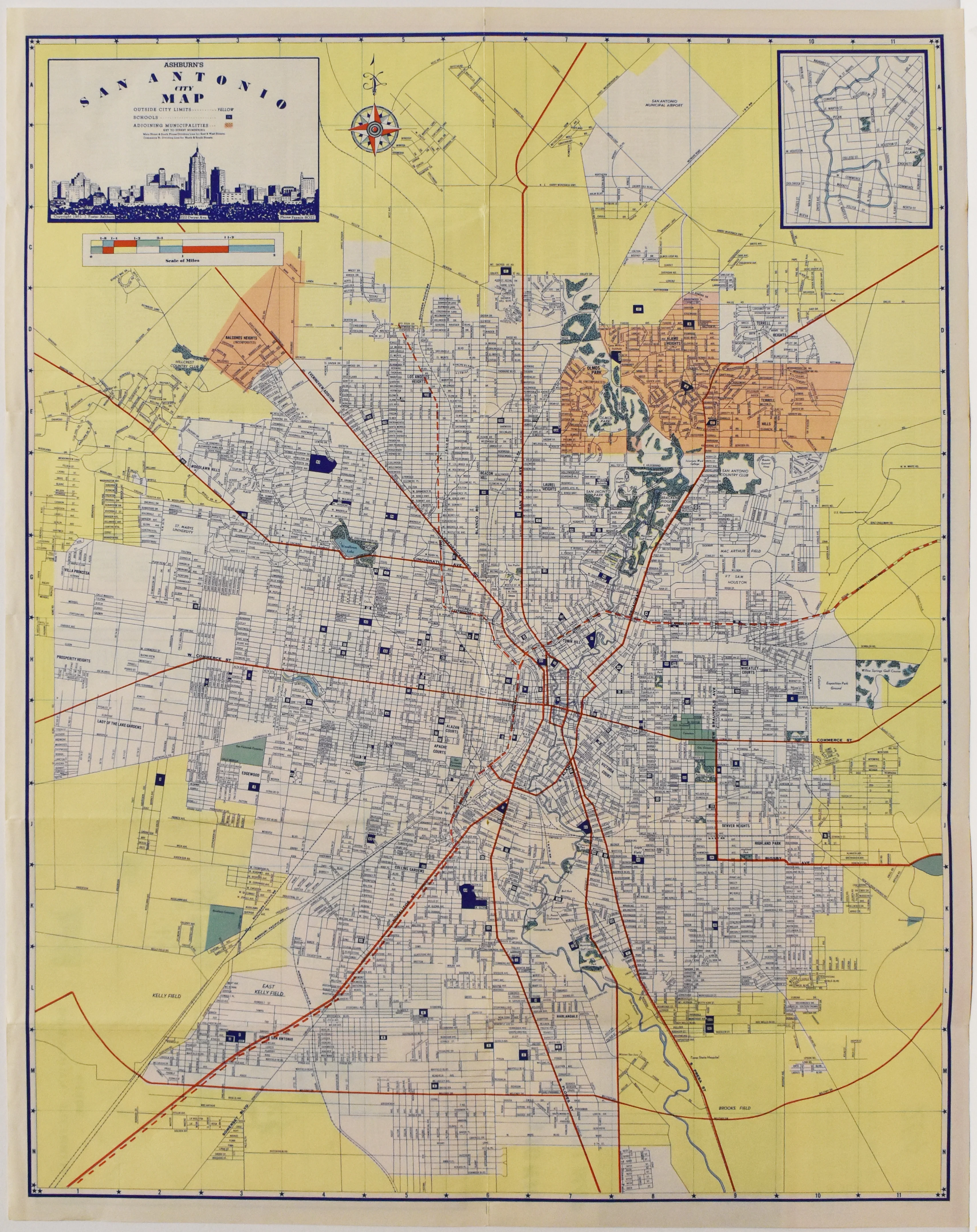
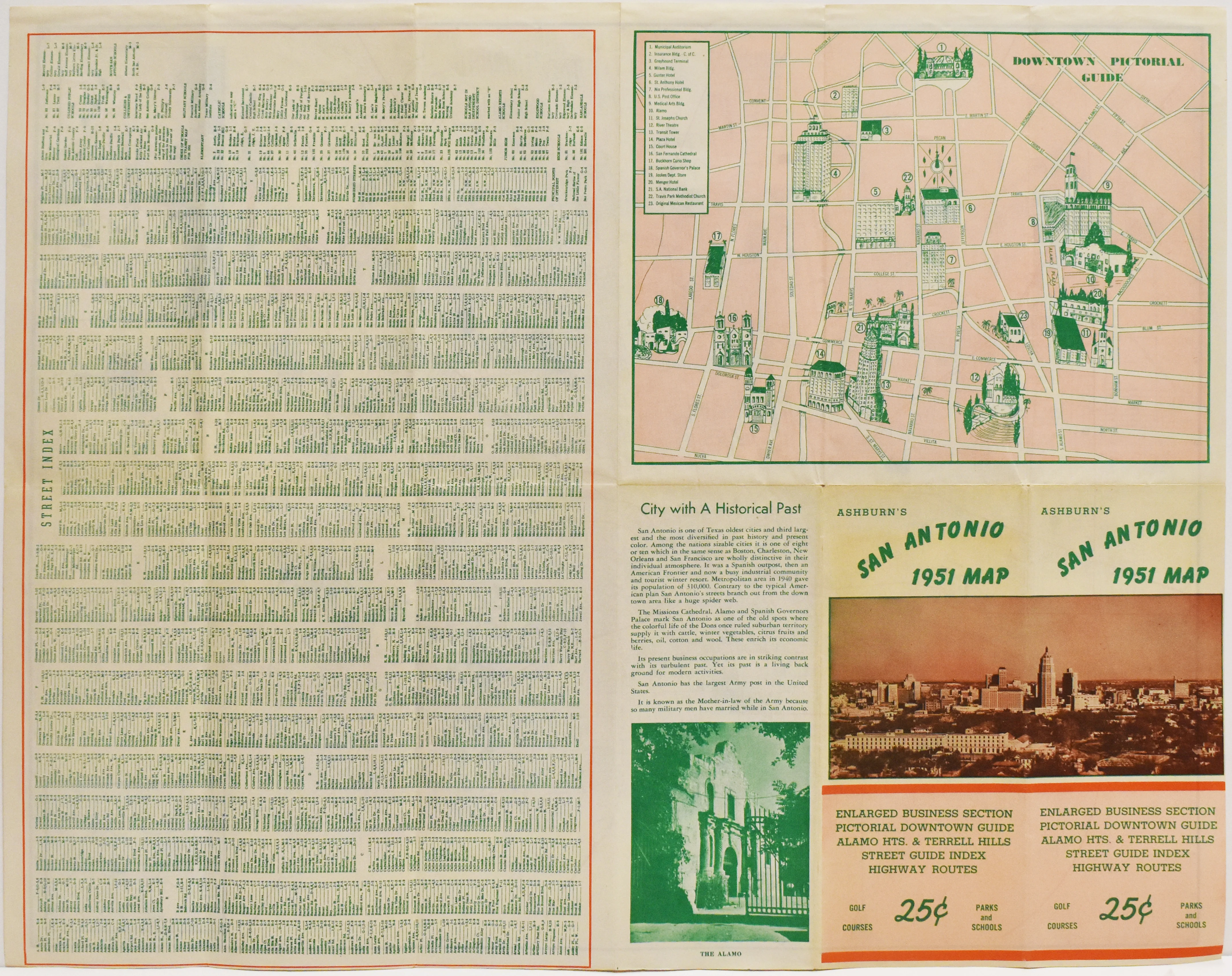
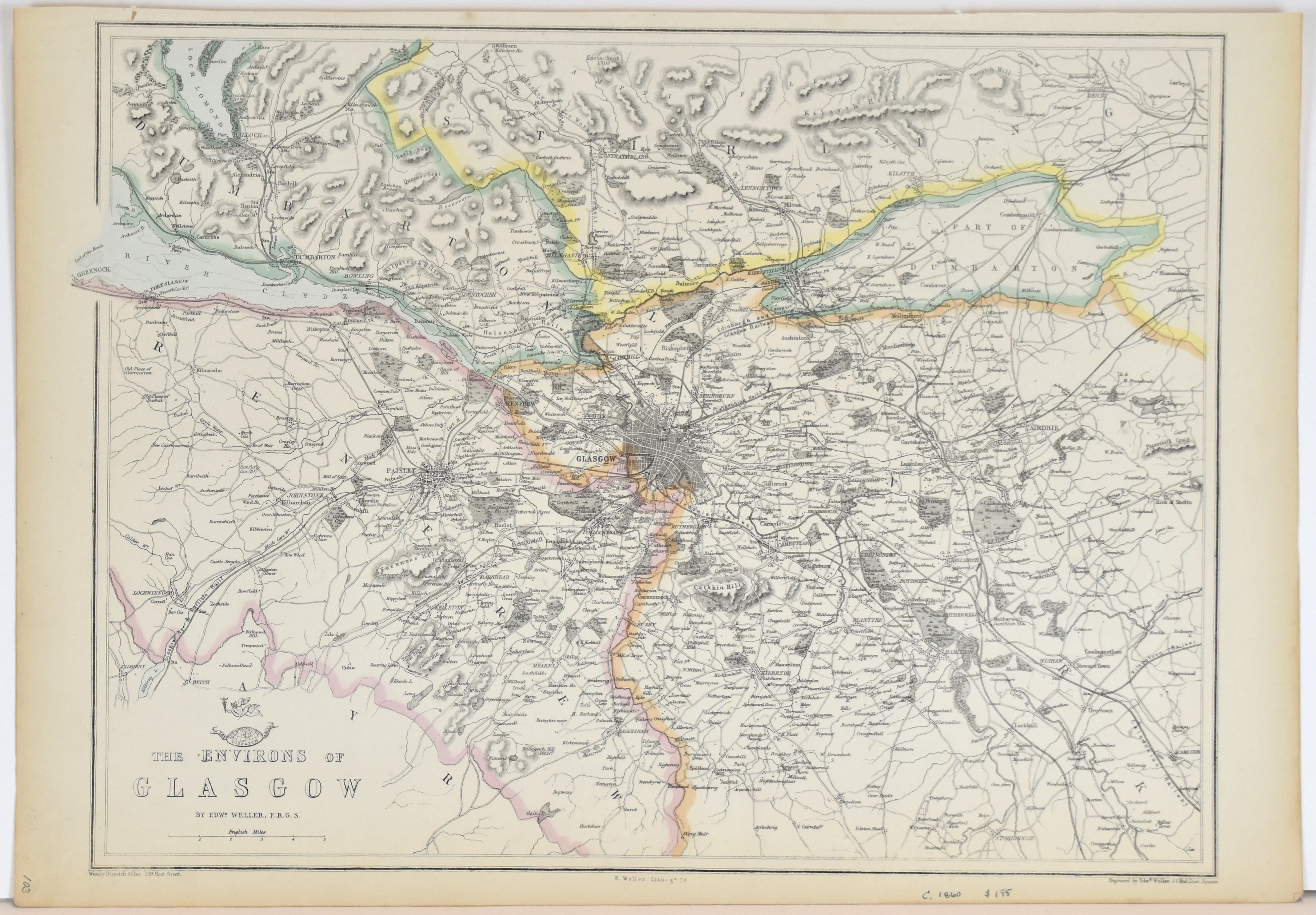
This exceptionally detailed city map of Dallas displays the city’s road network, neighborhoods, and major features such as White Rock Lake and Mountain Creek Lake. Key highways and railways are marked red, and the surrounding rural areas are shaded yellow. Important districts, parks, and airports like Love Field are labeled, providing a clear view of Dallas’s boundaries and development at that time. The map includes a decorative compass rose and a small inset photo of the downtown skyline.
Background on Creator
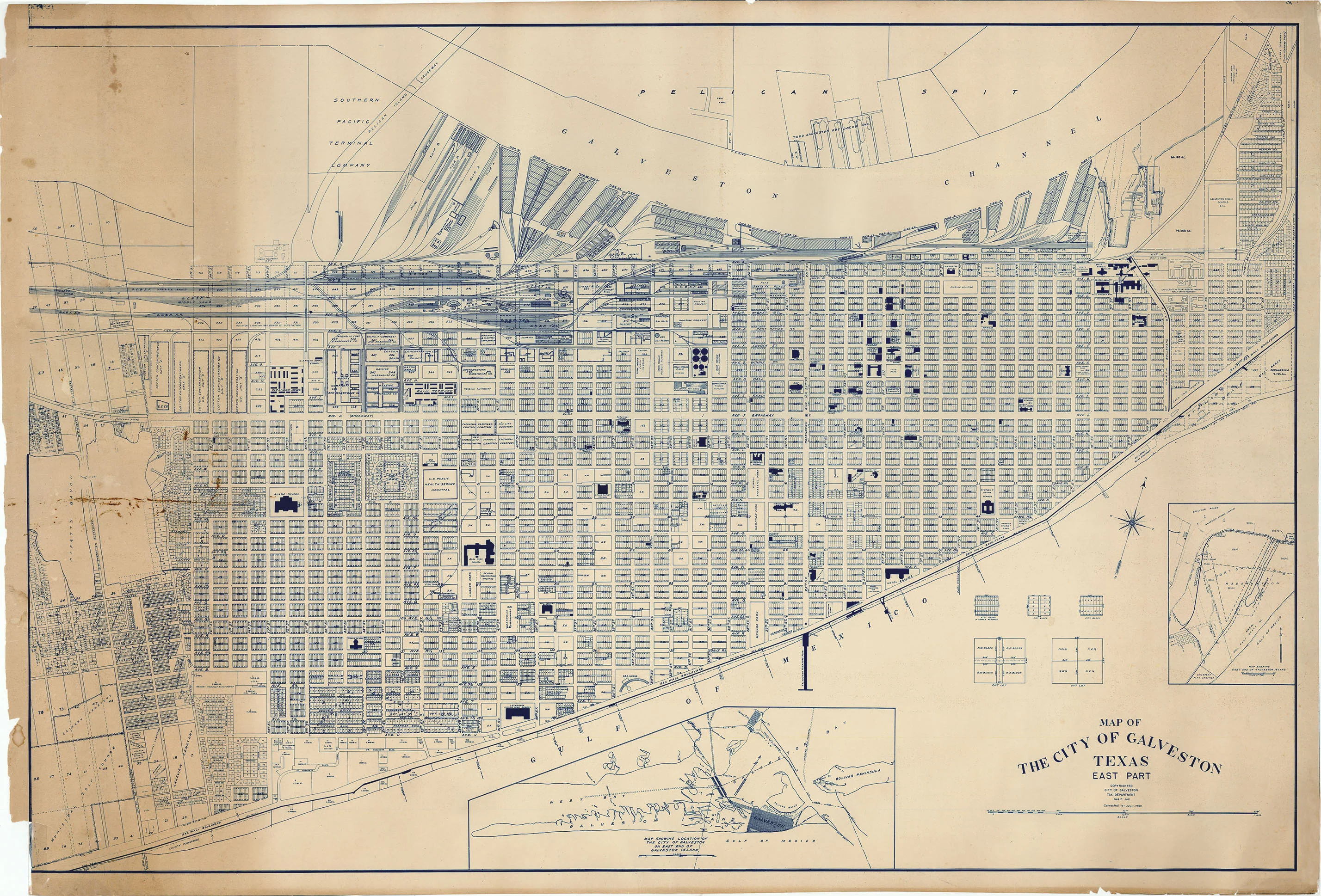
J. Foster Ashburn was a prolific mid-20th-century mapmaker and publisher known for his detailed city and regional maps across the United States. Active primarily in the 1940s and 1950s, Ashburn produced maps for cities such as Houston, Atlanta, Madison, and Knoxville, as well as for entire states like Texas. His work was recognized for its clarity, practical information, and colorful presentation, often serving both as navigational aids and promotional materials. Ashburn operated out of Fort Worth, Texas, and his maps were widely distributed, sometimes in collaboration with local businesses or as complimentary items for hotels and civic organizations. Today, J. Foster Ashburn’s maps are valued by collectors and historians for their detailed depiction of American urban and regional landscapes during a period of rapid growth and change.
- Title: ASHBURN'S DALLAS CITY MAP
- Author: J. Foster Ashburn
- Date: 1955
- Condition: Excellent - separations at folds
- Inches: 23 3/4 x 18 [Image]
- Centimeters: 60.32 x 45.72 [Image]
- Product ID: 308540
This exceptionally detailed city map of Dallas displays the city’s road network, neighborhoods, and major features such as White Rock Lake and Mountain Creek Lake. Key highways and railways are marked red, and the surrounding rural areas are shaded yellow. Important districts, parks, and airports like Love Field are labeled, providing a clear view of Dallas’s boundaries and development at that time. The map includes a decorative compass rose and a small inset photo of the downtown skyline.
Background on Creator
J. Foster Ashburn was a prolific mid-20th-century mapmaker and publisher known for his detailed city and regional maps across the United States. Active primarily in the 1940s and 1950s, Ashburn produced maps for cities such as Houston, Atlanta, Madison, and Knoxville, as well as for entire states like Texas. His work was recognized for its clarity, practical information, and colorful presentation, often serving both as navigational aids and promotional materials. Ashburn operated out of Fort Worth, Texas, and his maps were widely distributed, sometimes in collaboration with local businesses or as complimentary items for hotels and civic organizations. Today, J. Foster Ashburn’s maps are valued by collectors and historians for their detailed depiction of American urban and regional landscapes during a period of rapid growth and change.
Original: $295.00
-65%$295.00
$103.25Description
- Title: ASHBURN'S DALLAS CITY MAP
- Author: J. Foster Ashburn
- Date: 1955
- Condition: Excellent - separations at folds
- Inches: 23 3/4 x 18 [Image]
- Centimeters: 60.32 x 45.72 [Image]
- Product ID: 308540
This exceptionally detailed city map of Dallas displays the city’s road network, neighborhoods, and major features such as White Rock Lake and Mountain Creek Lake. Key highways and railways are marked red, and the surrounding rural areas are shaded yellow. Important districts, parks, and airports like Love Field are labeled, providing a clear view of Dallas’s boundaries and development at that time. The map includes a decorative compass rose and a small inset photo of the downtown skyline.
Background on Creator
J. Foster Ashburn was a prolific mid-20th-century mapmaker and publisher known for his detailed city and regional maps across the United States. Active primarily in the 1940s and 1950s, Ashburn produced maps for cities such as Houston, Atlanta, Madison, and Knoxville, as well as for entire states like Texas. His work was recognized for its clarity, practical information, and colorful presentation, often serving both as navigational aids and promotional materials. Ashburn operated out of Fort Worth, Texas, and his maps were widely distributed, sometimes in collaboration with local businesses or as complimentary items for hotels and civic organizations. Today, J. Foster Ashburn’s maps are valued by collectors and historians for their detailed depiction of American urban and regional landscapes during a period of rapid growth and change.