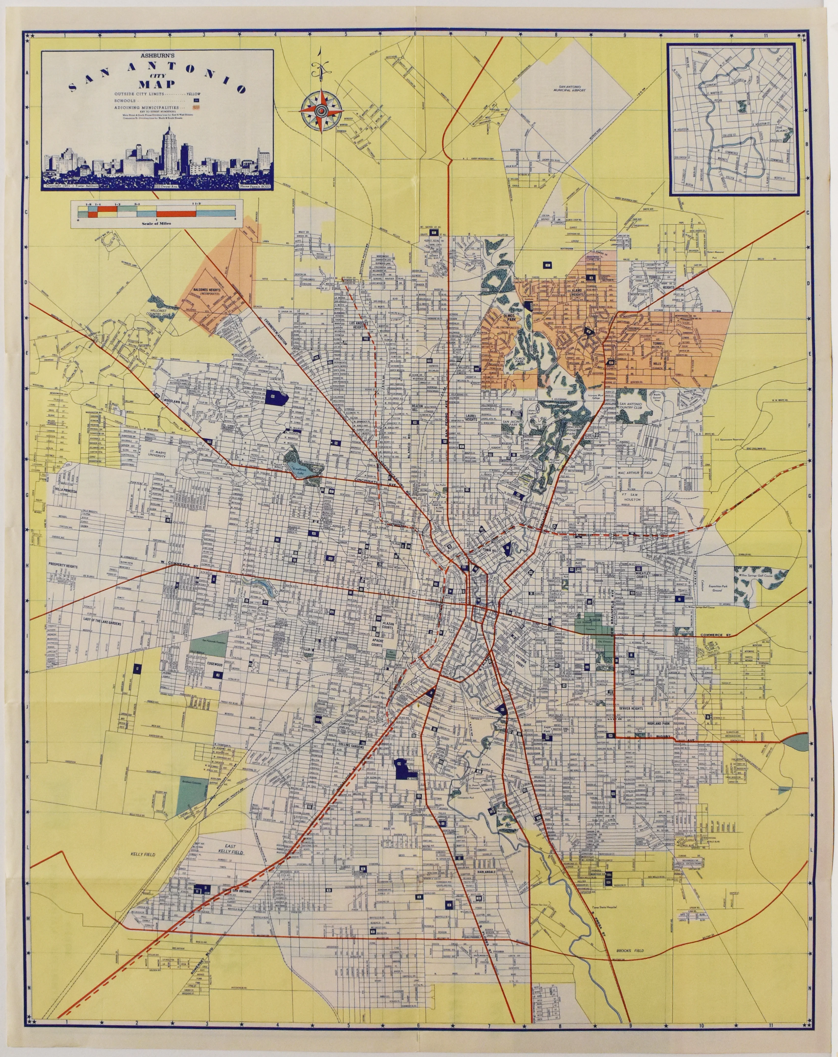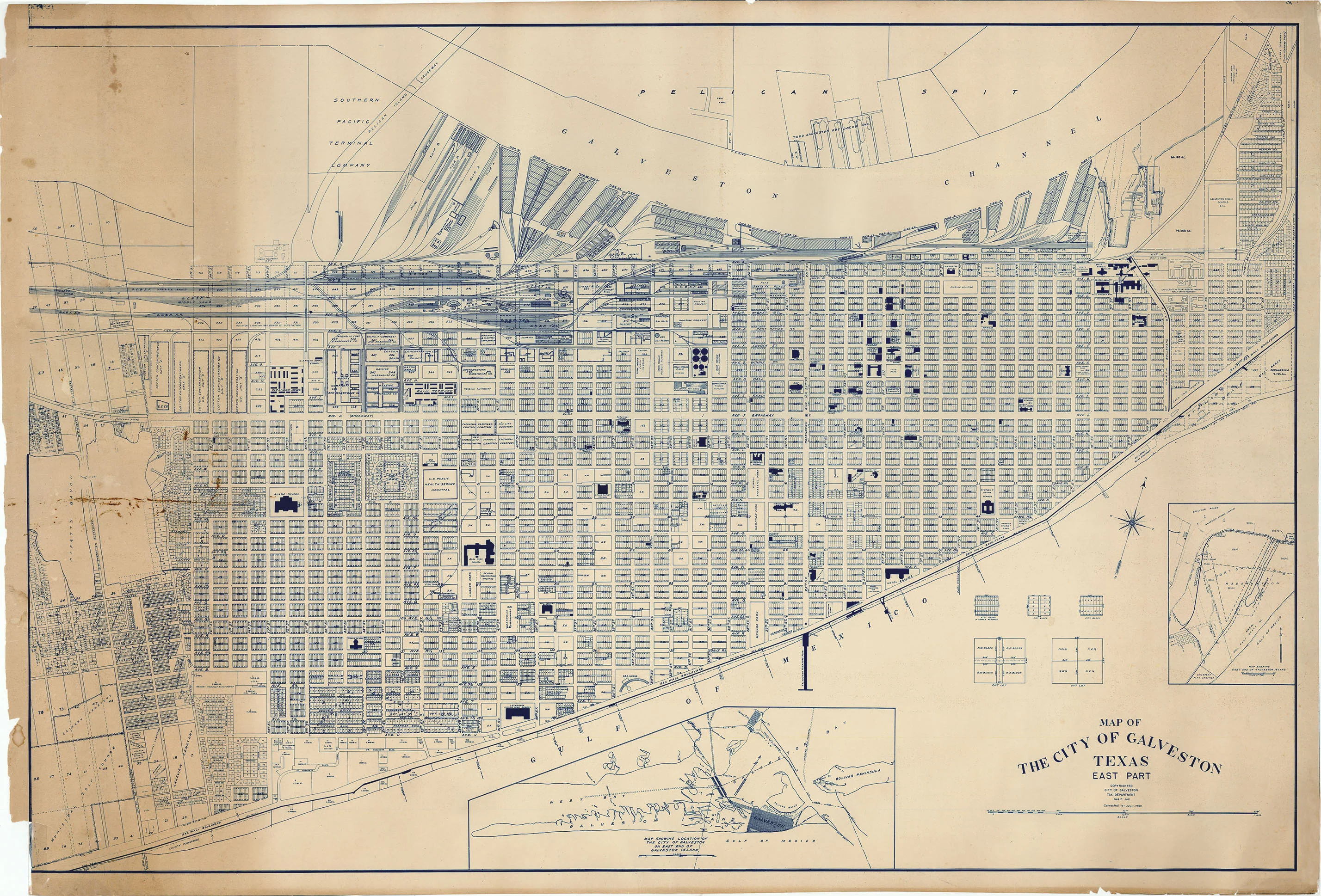
Map of the City of Galveston Texas East Part: Jud 1960
- Title: Map of the City of Galveston Texas East Part
- Author: Gus F. Jud
- Date: 1960
- Medium: Engraving
- Condition: Good - toning, creasing throughout, paper loss in left corners
- Inches: 30 x 43 3/4 [Paper]
- Centimeters: 76.2 x 111.1 [Paper]
- Product ID: 222024
In the 1960s, the east part of Galveston-often called the East End-was a neighborhood rich in historic character, featuring Victorian-era homes and buildings that reflected the city’s prosperous past. This area, like much of Galveston, was experiencing significant transition during the decade. The city had recently emerged from its "Free State of Galveston" era, a time when gambling and vice industries flourished until a crackdown in the late 1950s brought them to an end. As a result, Galveston faced economic challenges and worked to redefine itself, with the East End witnessing both decline and the seeds of revitalization.
Throughout the 1960s, there was a growing awareness of the need to preserve Galveston’s unique architectural heritage, especially in the East End. Residents became increasingly concerned about the demolition of historic structures, which led to the beginning of the city’s preservation movement. This decade also saw changes in local government, with Galveston adopting the council-manager system in 1961, aiming to bring more professionalism and efficiency to city administration.
Economically, the city shifted its focus toward tourism, the seafood industry, and industrial development, as well as expanding its educational institutions. The University of Texas Medical Branch continued to grow, and new colleges were established, further shaping the community. Natural disasters such as Hurricane Carla in 1961 had a significant impact, causing damage and prompting improvements in infrastructure and disaster preparedness. Overall, the east part of Galveston in the 1960s was a place of both historical significance and transformation, balancing preservation with the need to adapt to changing times.
Background on Creator
Gus F. Jud was born in Vienna, Austria, on January 3, 1906, and later became a resident of Galveston, Texas. He worked in the city’s tax department and was also involved in local civic matters, corresponding with prominent Galveston residents about property and tax issues in the 1950s and 1960s. He passed away at John Sealy Hospital in Galveston on February 7, 1993.
Original: $795.00
-65%$795.00
$278.25Description
- Title: Map of the City of Galveston Texas East Part
- Author: Gus F. Jud
- Date: 1960
- Medium: Engraving
- Condition: Good - toning, creasing throughout, paper loss in left corners
- Inches: 30 x 43 3/4 [Paper]
- Centimeters: 76.2 x 111.1 [Paper]
- Product ID: 222024
In the 1960s, the east part of Galveston-often called the East End-was a neighborhood rich in historic character, featuring Victorian-era homes and buildings that reflected the city’s prosperous past. This area, like much of Galveston, was experiencing significant transition during the decade. The city had recently emerged from its "Free State of Galveston" era, a time when gambling and vice industries flourished until a crackdown in the late 1950s brought them to an end. As a result, Galveston faced economic challenges and worked to redefine itself, with the East End witnessing both decline and the seeds of revitalization.
Throughout the 1960s, there was a growing awareness of the need to preserve Galveston’s unique architectural heritage, especially in the East End. Residents became increasingly concerned about the demolition of historic structures, which led to the beginning of the city’s preservation movement. This decade also saw changes in local government, with Galveston adopting the council-manager system in 1961, aiming to bring more professionalism and efficiency to city administration.
Economically, the city shifted its focus toward tourism, the seafood industry, and industrial development, as well as expanding its educational institutions. The University of Texas Medical Branch continued to grow, and new colleges were established, further shaping the community. Natural disasters such as Hurricane Carla in 1961 had a significant impact, causing damage and prompting improvements in infrastructure and disaster preparedness. Overall, the east part of Galveston in the 1960s was a place of both historical significance and transformation, balancing preservation with the need to adapt to changing times.
Background on Creator
Gus F. Jud was born in Vienna, Austria, on January 3, 1906, and later became a resident of Galveston, Texas. He worked in the city’s tax department and was also involved in local civic matters, corresponding with prominent Galveston residents about property and tax issues in the 1950s and 1960s. He passed away at John Sealy Hospital in Galveston on February 7, 1993.