✨ New Arrivals Just Dropped!Explore
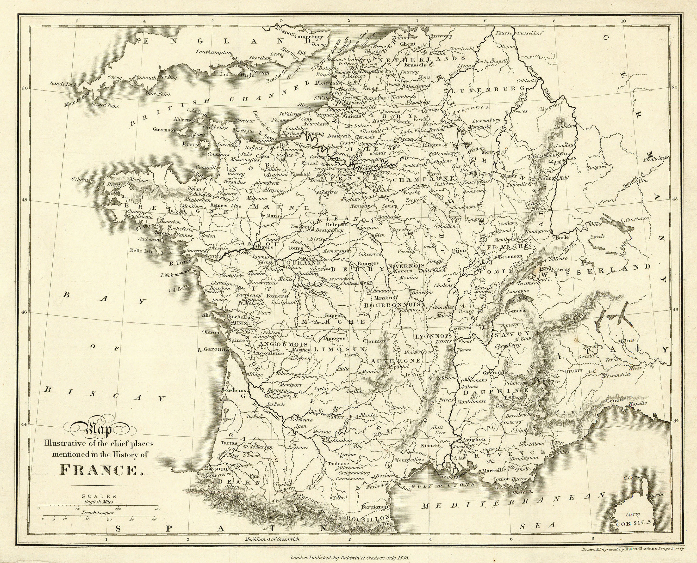
Map Illustrative of the Chief Places Mentioned in the History of France: Baldwin & Cradock 1835
- Title: Map Illustrative of the Chief Places Mentioned in the History of France
- Author: Baldwin & Cradock
- Date: 1835
- Medium: Engraving
- Condition: Very Good Plus - light age toning, minor creasing in margins
- Inches: 11 1/4 x 8 3/4 [Paper]
- Centimeters: 29.85 x 22.23 [Paper]
- Product ID: 100791
Map of France marking the regions and cities therein of particular historical interest. Longitude from the Greenwich Meridian. Also shows parts of England, Germany, Switzerland, Italy, and Spain.
$22.75
Original: $65.00
-65%Map Illustrative of the Chief Places Mentioned in the History of France: Baldwin & Cradock 1835—
$65.00
$22.75Description
- Title: Map Illustrative of the Chief Places Mentioned in the History of France
- Author: Baldwin & Cradock
- Date: 1835
- Medium: Engraving
- Condition: Very Good Plus - light age toning, minor creasing in margins
- Inches: 11 1/4 x 8 3/4 [Paper]
- Centimeters: 29.85 x 22.23 [Paper]
- Product ID: 100791
Map of France marking the regions and cities therein of particular historical interest. Longitude from the Greenwich Meridian. Also shows parts of England, Germany, Switzerland, Italy, and Spain.