✨ New Arrivals Just Dropped!Explore

Europe à l'Epoque de Charlemagne: Drioux & Leroy 1845
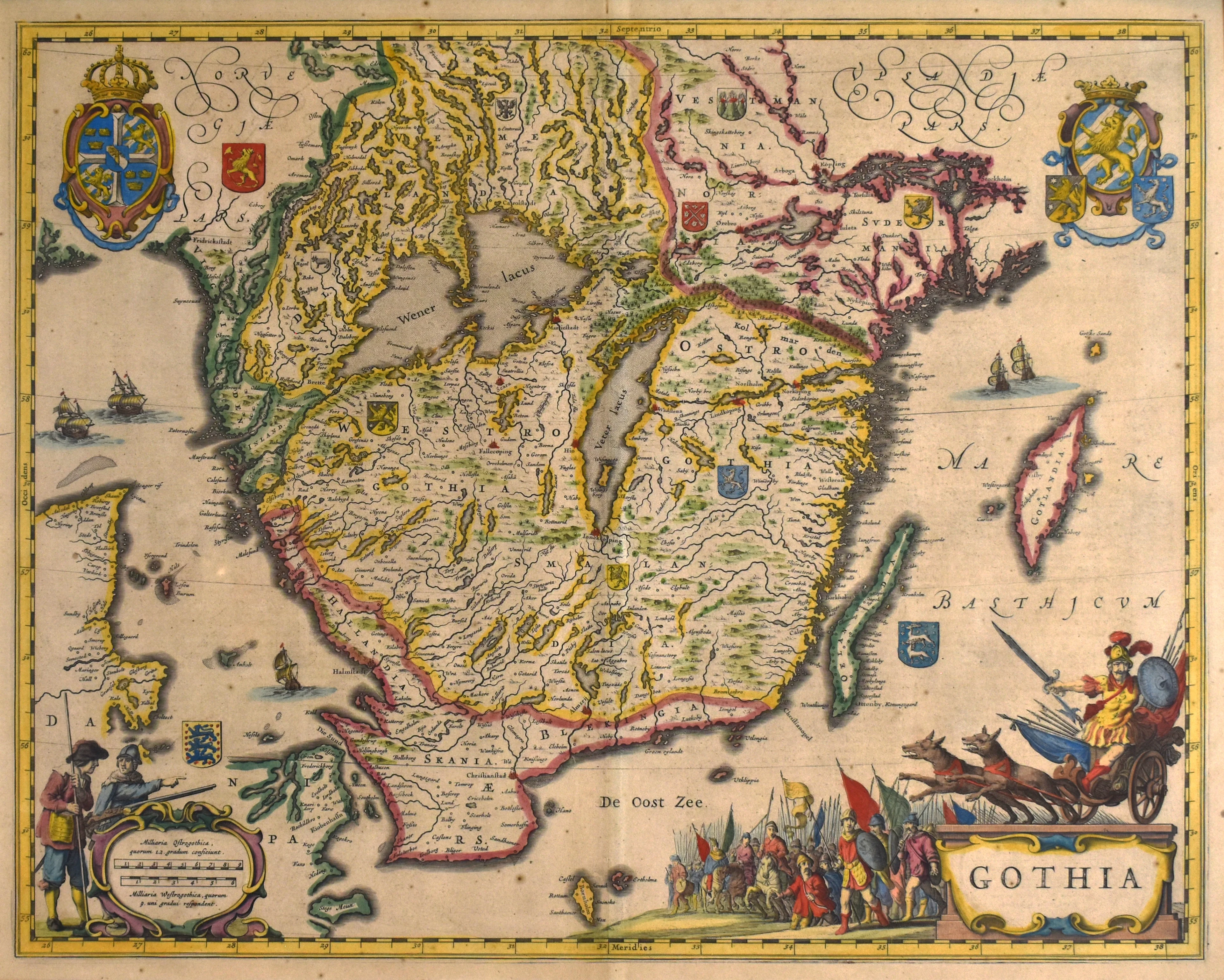
- Title: Europe à l'Epoque de Charlemagne
- Author: Claude-Joseph Drioux and Charles Leroy
- Date: 1845
- Medium: Hand-colored lithograph
- Condition: Very Good - age toning, areas of surface dirt and light foxing, marginal separation at issued center fold
- Inches: 19 x 13 3/8 [Paper]
- Centimeters: 48.26 x 33.97 [Paper]
- Product ID: 100751
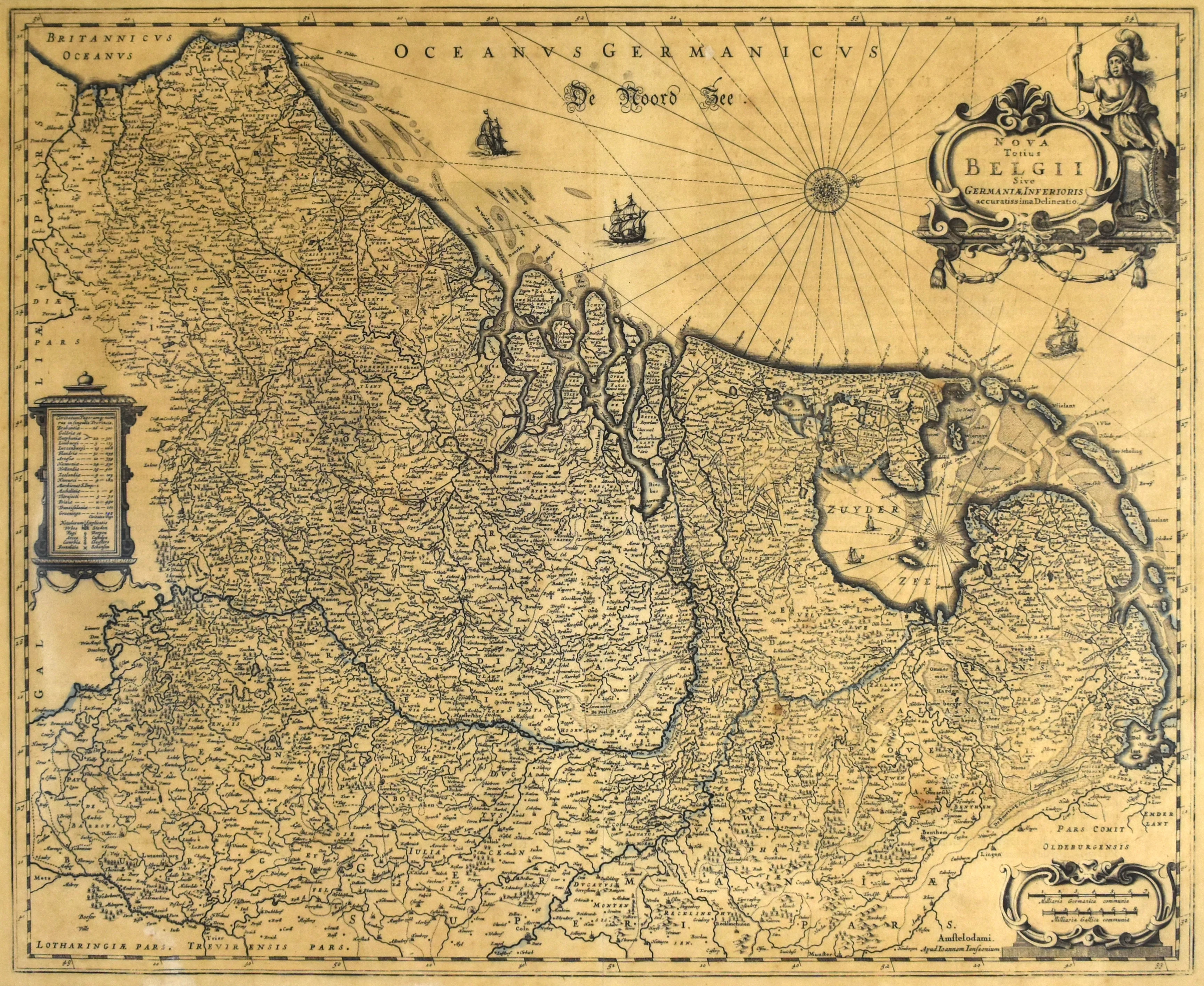
Map of Europe as it appeared during the rule of Charlemagne (reigned 768-814 CE). Hand-colored outlines help differentiate various provinces and regions.
- Title: Europe à l'Epoque de Charlemagne
- Author: Claude-Joseph Drioux and Charles Leroy
- Date: 1845
- Medium: Hand-colored lithograph
- Condition: Very Good - age toning, areas of surface dirt and light foxing, marginal separation at issued center fold
- Inches: 19 x 13 3/8 [Paper]
- Centimeters: 48.26 x 33.97 [Paper]
- Product ID: 100751
Map of Europe as it appeared during the rule of Charlemagne (reigned 768-814 CE). Hand-colored outlines help differentiate various provinces and regions.
$43.75
Original: $125.00
-65%Europe à l'Epoque de Charlemagne: Drioux & Leroy 1845—
$125.00
$43.75Description
- Title: Europe à l'Epoque de Charlemagne
- Author: Claude-Joseph Drioux and Charles Leroy
- Date: 1845
- Medium: Hand-colored lithograph
- Condition: Very Good - age toning, areas of surface dirt and light foxing, marginal separation at issued center fold
- Inches: 19 x 13 3/8 [Paper]
- Centimeters: 48.26 x 33.97 [Paper]
- Product ID: 100751
Map of Europe as it appeared during the rule of Charlemagne (reigned 768-814 CE). Hand-colored outlines help differentiate various provinces and regions.