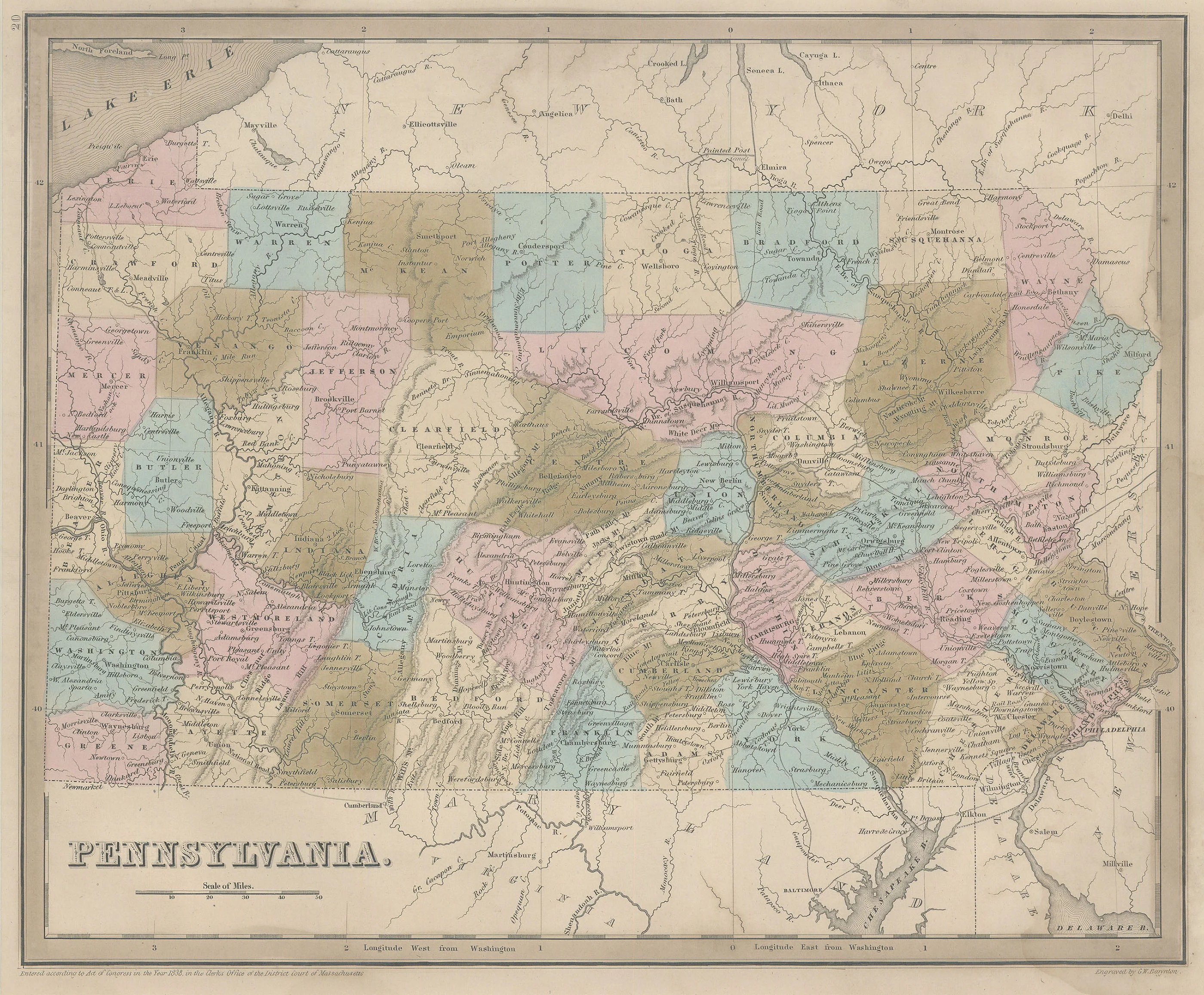
County Map of the State of Pennsylvania: Mitchell, 1877
- Title: County Map of The State of Pennsylvania
- Author: S. Augustus Mitchell
- Date: 1877
- Condition: Very Good - small separations at centerfold
- Inches: 21 5/8 x 14 3/4 [Image]
- Centimeters: 54.92 x 37.46 [Image]
- Product ID: 308589
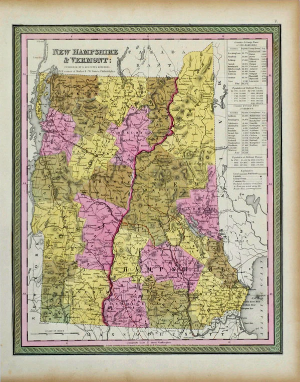
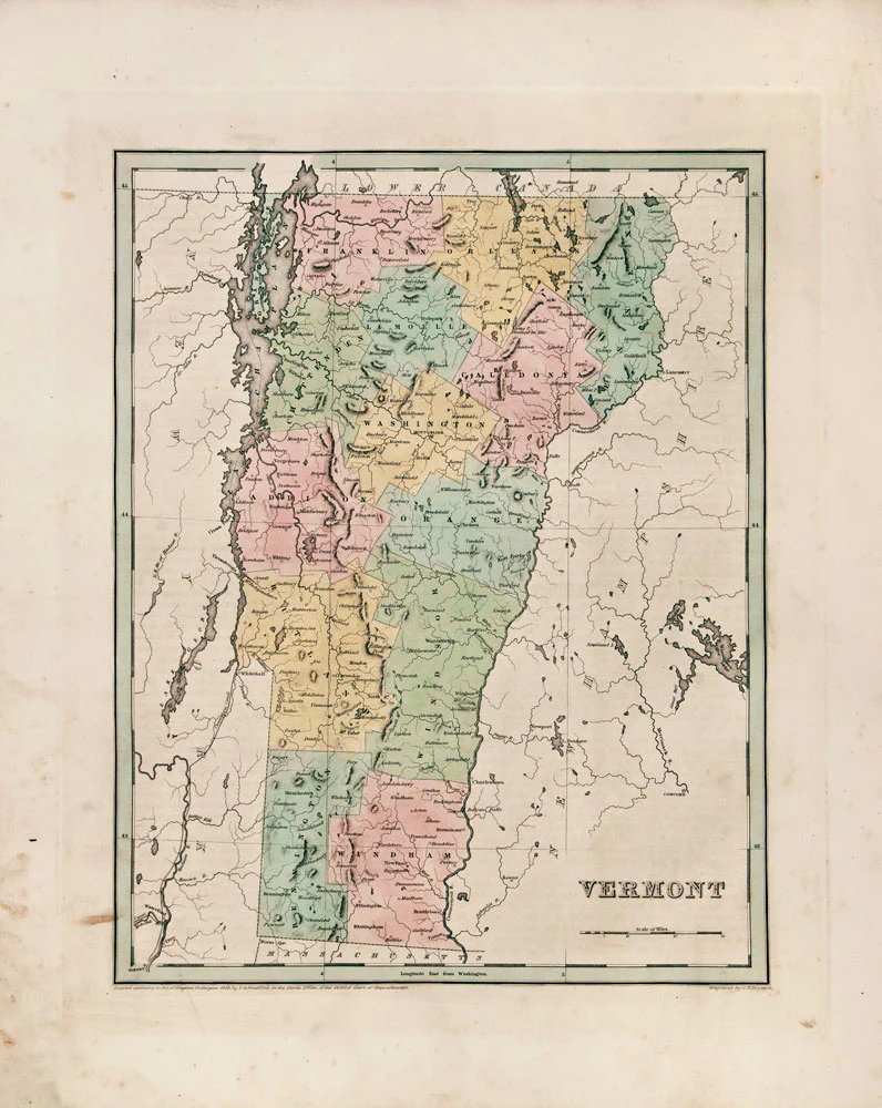
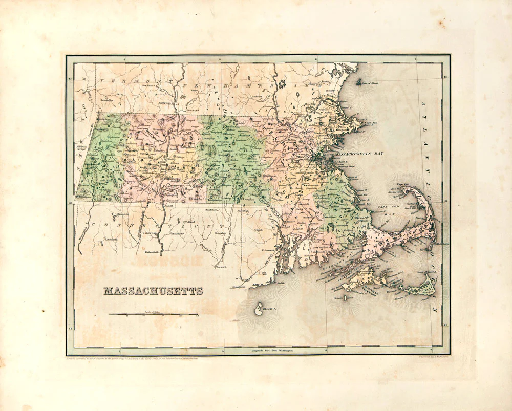
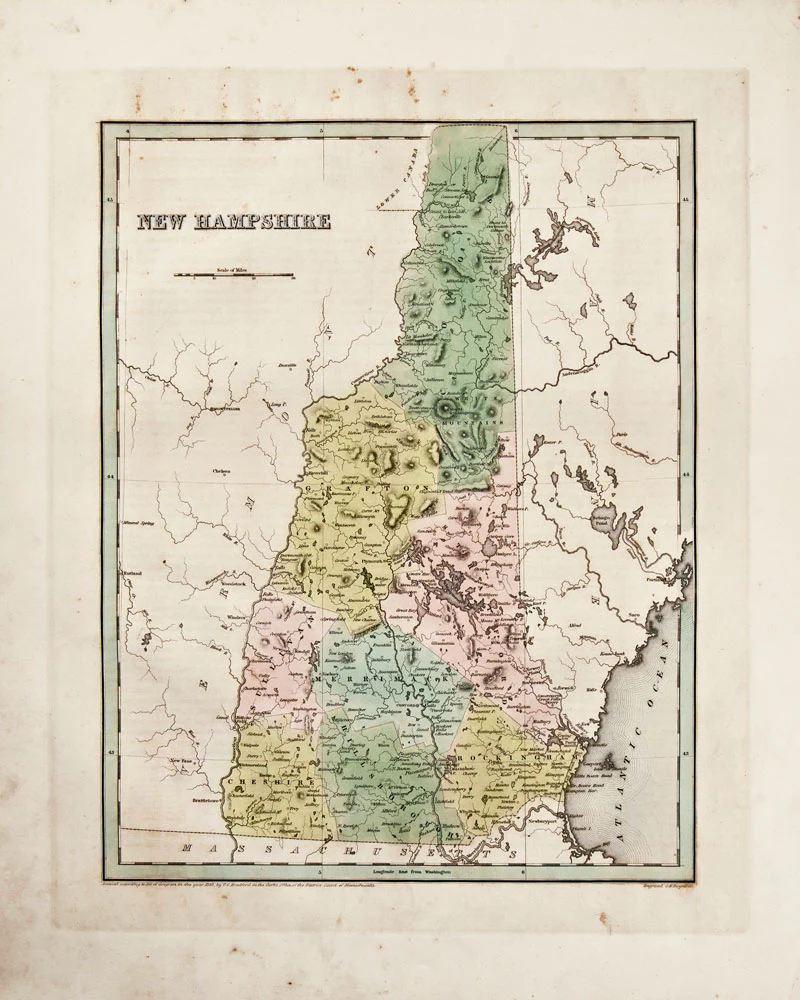
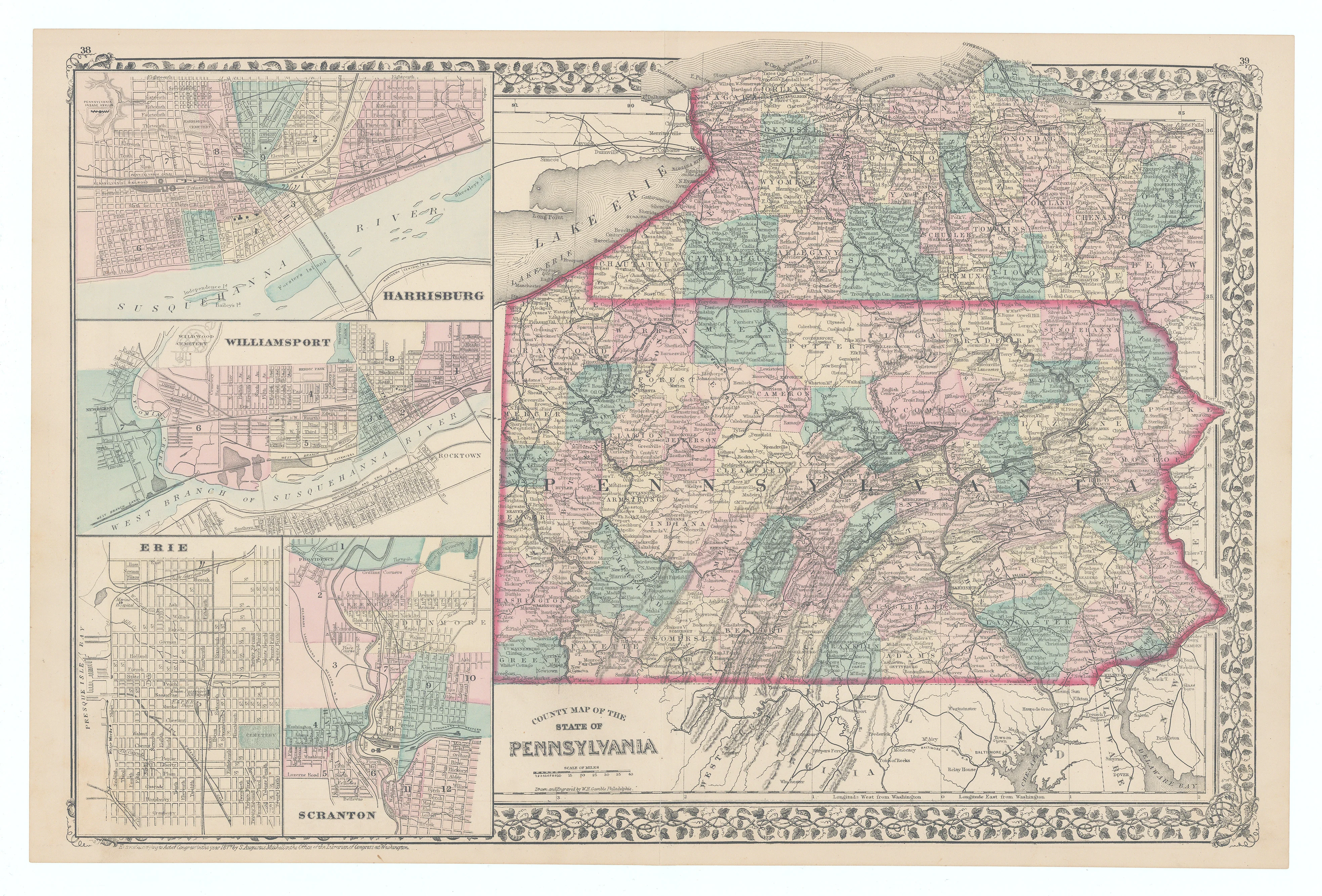
This hand-colored map of Pennsylvania was produced for “Mitchell’s New General Atlas,” published by S. Augustus Mitchell in 1877. The map features detailed renderings of the state and includes four inset views highlighting Harrisburg, Williamsport, Erie, and Scranton.
Background on Creator
Samuel Augustus Mitchell came to dominate the Philadelphia mapmaking market in the 1840s by entering into a partnership with the map draftsman James H. Young and then by absorbing the mapmaking firms of Anthony Finley (1784-1836) and Henry S. Tanner (1786-1858). Like his competitor Alvin Johnson, Mitchell was quick to adopt the technological innovation of lithography in his printing and established himself as the foremost American map publisher of his day. In 1860, he was succeeded by his son, Samuel Augustus Mitchell, Jr. (1826-1882). At its height, the Mitchells’ company may have had as many as 250 employees and sold over 400,000 publications annually.
- Title: County Map of The State of Pennsylvania
- Author: S. Augustus Mitchell
- Date: 1877
- Condition: Very Good - small separations at centerfold
- Inches: 21 5/8 x 14 3/4 [Image]
- Centimeters: 54.92 x 37.46 [Image]
- Product ID: 308589
This hand-colored map of Pennsylvania was produced for “Mitchell’s New General Atlas,” published by S. Augustus Mitchell in 1877. The map features detailed renderings of the state and includes four inset views highlighting Harrisburg, Williamsport, Erie, and Scranton.
Background on Creator
Samuel Augustus Mitchell came to dominate the Philadelphia mapmaking market in the 1840s by entering into a partnership with the map draftsman James H. Young and then by absorbing the mapmaking firms of Anthony Finley (1784-1836) and Henry S. Tanner (1786-1858). Like his competitor Alvin Johnson, Mitchell was quick to adopt the technological innovation of lithography in his printing and established himself as the foremost American map publisher of his day. In 1860, he was succeeded by his son, Samuel Augustus Mitchell, Jr. (1826-1882). At its height, the Mitchells’ company may have had as many as 250 employees and sold over 400,000 publications annually.
Original: $125.00
-65%$125.00
$43.75Description
- Title: County Map of The State of Pennsylvania
- Author: S. Augustus Mitchell
- Date: 1877
- Condition: Very Good - small separations at centerfold
- Inches: 21 5/8 x 14 3/4 [Image]
- Centimeters: 54.92 x 37.46 [Image]
- Product ID: 308589
This hand-colored map of Pennsylvania was produced for “Mitchell’s New General Atlas,” published by S. Augustus Mitchell in 1877. The map features detailed renderings of the state and includes four inset views highlighting Harrisburg, Williamsport, Erie, and Scranton.
Background on Creator
Samuel Augustus Mitchell came to dominate the Philadelphia mapmaking market in the 1840s by entering into a partnership with the map draftsman James H. Young and then by absorbing the mapmaking firms of Anthony Finley (1784-1836) and Henry S. Tanner (1786-1858). Like his competitor Alvin Johnson, Mitchell was quick to adopt the technological innovation of lithography in his printing and established himself as the foremost American map publisher of his day. In 1860, he was succeeded by his son, Samuel Augustus Mitchell, Jr. (1826-1882). At its height, the Mitchells’ company may have had as many as 250 employees and sold over 400,000 publications annually.