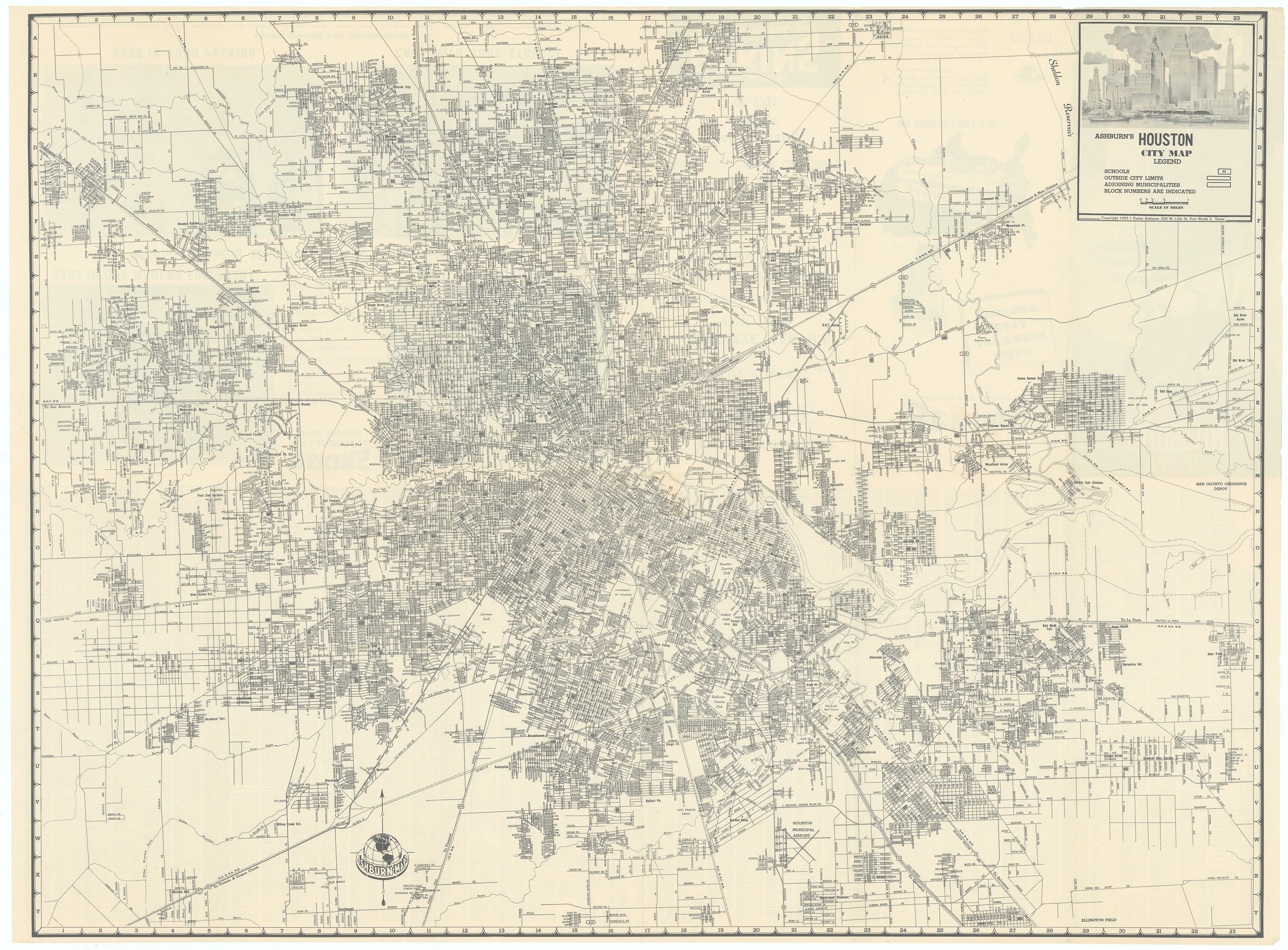
Ashburn's Houston City Map: Ashburn, 1955
- Title: ASHBURN'S HOUSTON CITY MAP
- Author: J. Foster Ashburn
- Date: 1955
- Condition: Excellent
- Inches: 24 1/4 x 18 1/4 [Image]
- Centimeters: 61.59 x 46.35 [Image]
- Product ID: 308389
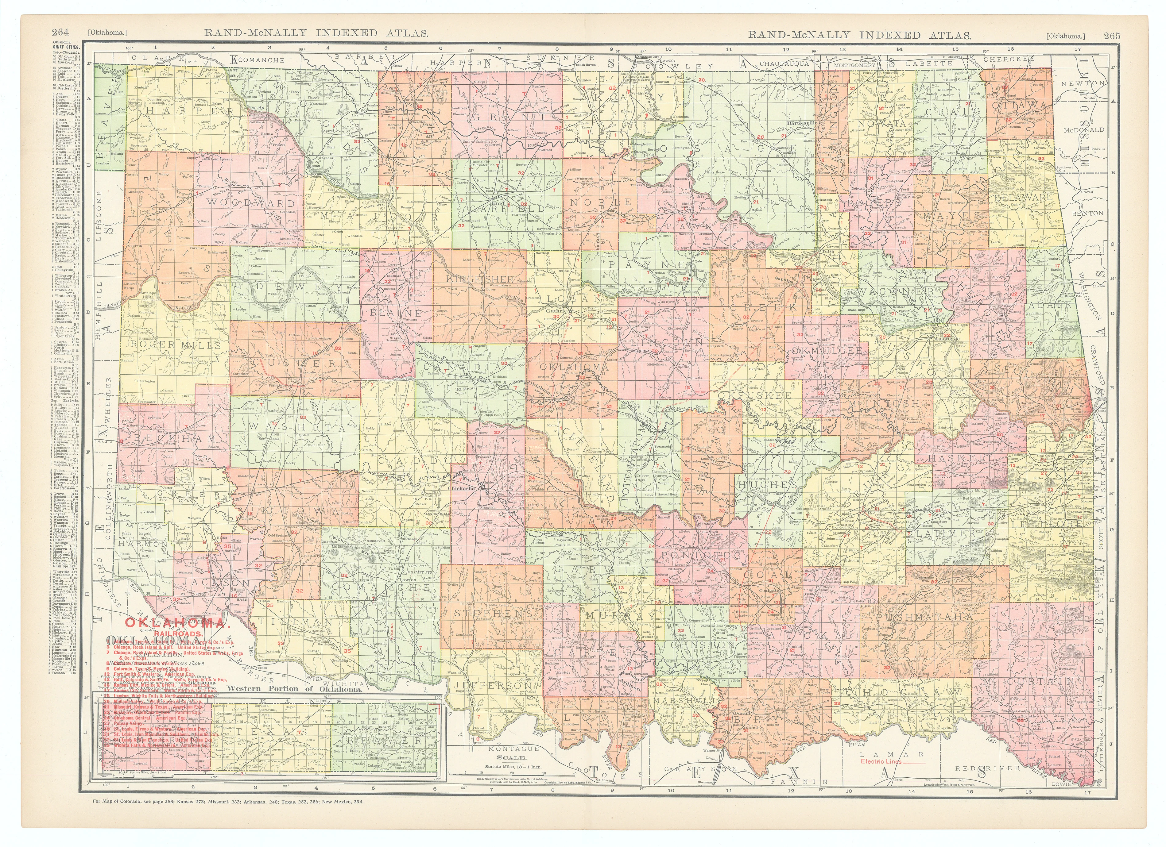
This exceptionally detailed street map of Houston offered in black and white is slightly smaller than the more common color editions. The map reflects the city’s rapid growth and infrastructure development in the mid-1950s, a period when Houston’s population was approaching one million and significant investments were being made in transportation, culture, and public amenities. The map covers central Houston and its environs, including important neighborhoods, transportation routes, and key landmarks. The verso contains a street index, various advertisements for Bekins Van & Storage Company, and a large photographic image of the Sam Houston Monument on the front wrapper.
Background on Creator
J. Foster Ashburn was a prolific mid-20th-century mapmaker and publisher known for his detailed city and regional maps across the United States. Active primarily in the 1940s and 1950s, Ashburn produced maps for cities such as Houston, Atlanta, Madison, and Knoxville, as well as for entire states like Texas. His work was recognized for its clarity, practical information, and colorful presentation, often serving both as navigational aids and promotional materials. Ashburn operated out of Fort Worth, Texas, and his maps were widely distributed, sometimes in collaboration with local businesses or as complimentary items for hotels and civic organizations. Today, J. Foster Ashburn’s maps are valued by collectors and historians for their detailed depiction of American urban and regional landscapes during a period of rapid growth and change.
- Title: ASHBURN'S HOUSTON CITY MAP
- Author: J. Foster Ashburn
- Date: 1955
- Condition: Excellent
- Inches: 24 1/4 x 18 1/4 [Image]
- Centimeters: 61.59 x 46.35 [Image]
- Product ID: 308389
This exceptionally detailed street map of Houston offered in black and white is slightly smaller than the more common color editions. The map reflects the city’s rapid growth and infrastructure development in the mid-1950s, a period when Houston’s population was approaching one million and significant investments were being made in transportation, culture, and public amenities. The map covers central Houston and its environs, including important neighborhoods, transportation routes, and key landmarks. The verso contains a street index, various advertisements for Bekins Van & Storage Company, and a large photographic image of the Sam Houston Monument on the front wrapper.
Background on Creator
J. Foster Ashburn was a prolific mid-20th-century mapmaker and publisher known for his detailed city and regional maps across the United States. Active primarily in the 1940s and 1950s, Ashburn produced maps for cities such as Houston, Atlanta, Madison, and Knoxville, as well as for entire states like Texas. His work was recognized for its clarity, practical information, and colorful presentation, often serving both as navigational aids and promotional materials. Ashburn operated out of Fort Worth, Texas, and his maps were widely distributed, sometimes in collaboration with local businesses or as complimentary items for hotels and civic organizations. Today, J. Foster Ashburn’s maps are valued by collectors and historians for their detailed depiction of American urban and regional landscapes during a period of rapid growth and change.
Original: $395.00
-65%$395.00
$138.25Description
- Title: ASHBURN'S HOUSTON CITY MAP
- Author: J. Foster Ashburn
- Date: 1955
- Condition: Excellent
- Inches: 24 1/4 x 18 1/4 [Image]
- Centimeters: 61.59 x 46.35 [Image]
- Product ID: 308389
This exceptionally detailed street map of Houston offered in black and white is slightly smaller than the more common color editions. The map reflects the city’s rapid growth and infrastructure development in the mid-1950s, a period when Houston’s population was approaching one million and significant investments were being made in transportation, culture, and public amenities. The map covers central Houston and its environs, including important neighborhoods, transportation routes, and key landmarks. The verso contains a street index, various advertisements for Bekins Van & Storage Company, and a large photographic image of the Sam Houston Monument on the front wrapper.
Background on Creator
J. Foster Ashburn was a prolific mid-20th-century mapmaker and publisher known for his detailed city and regional maps across the United States. Active primarily in the 1940s and 1950s, Ashburn produced maps for cities such as Houston, Atlanta, Madison, and Knoxville, as well as for entire states like Texas. His work was recognized for its clarity, practical information, and colorful presentation, often serving both as navigational aids and promotional materials. Ashburn operated out of Fort Worth, Texas, and his maps were widely distributed, sometimes in collaboration with local businesses or as complimentary items for hotels and civic organizations. Today, J. Foster Ashburn’s maps are valued by collectors and historians for their detailed depiction of American urban and regional landscapes during a period of rapid growth and change.